Sentiers du Patrimoine ®
Saint-Cyr-en-Arthies

Redescendre pour regagner votre lieu de stationnement.
Prochain point : Lat. 49.06075533146386, Long. 1.741377107906495
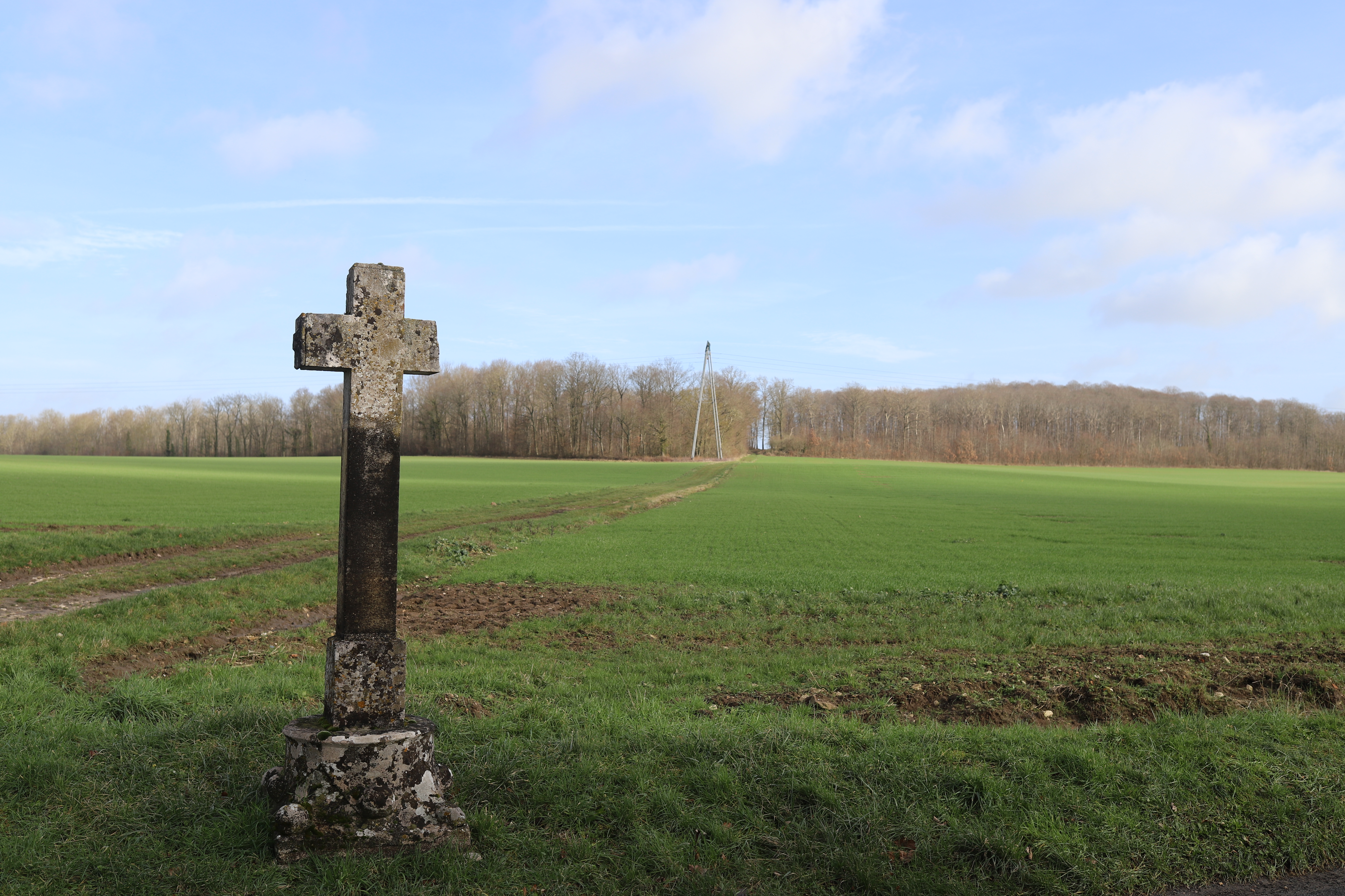
This cross is located at the crossroads of the rue du Parc and of the rangée de Drocourt which allows to go to Vienne-en-Arthies on the West side and Drocourt on the East side. Implementing a cross at a crossroads is a particularly common tradition which marks the road intersections with a practical landmark but also spiritual and symbolic. If the present cross dates back to the 19th century, the Urbarium shows that a cross was there in 1776, on this spot. It stands on the capital of an upside down column, that may come from the old church and date back to the 13th century. The church was indeed rebuilt in 1767 and it’s likely that the stones of the previous building were used for other constructions.
The name of ‘John the Good’ given to this cross does bring up questions: quite an uncommon denomination, it does allow a lingering doubt regarding its origin. Several authors did mention it in their works tracing back the history of the village, but their interpretations are sometimes contradictory. Henri Artus in his ‘Notice sur Saint-Cyr-en-Arthies’ evokes a cross “quite old that was up the hill along the park walls ; this cross bore the name of John the Good.” He reckons the cross was named after the King of France John II the Good who reigned from 1350 to 1364. The book ‘La Roche-Guyon et le pays d’Arthies, une histoire spirituelle’ however evokes the story of the castle’s gamekeeper nicknamed John the Good and who was said to have been found dead up the hill in 1850, maybe murdered by some burglars or poachers. However, there is no evidence about the death of anyone called Jean on the town registers in 1850… in the absence of more precise sources, there is still doubt about the origin of this unusual dedication.

