Sentiers du Patrimoine ®
Saint-Cyr-en-Arthies

Revenir au carrefour et continuer tout droit sur 350 m pour retrouver la rue du Parc et la remonter jusqu’à l’ancienne ferme du château.
Prochain point : Lat. 49.060963, Long. 1.741535
Long-standing settlements were confirmed in Saint-Cyr-en-Arthies. The discovery in the 1940s of a New Stone Age axe head at the “La mare de Brou” hamlet on the municipality neighbouring Drocourt, does let us think there were the first farmers there as soon as that era. But it’s mostly archaeological remains of the Gallo-roman and Merovingian era which were discovered: tiles, ceramics, coins and even the rim of a Gallo-roman well. Necropolis from these same periods were also put to the fore at the start of the 20th century, especially at the lieu-dit La Porte de la Marmette. Besides, according to oral tradition, the Saint-Cyr path in Mantes is supposed to be an ancient Roman via linking Beauvais to Chartres.
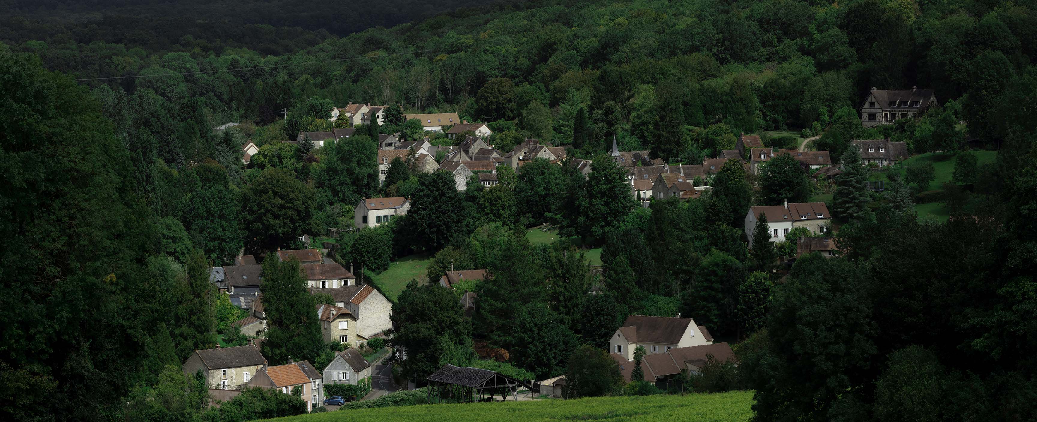
Saint-Cyr-en-Arthies became a parish in the 10th century. Local tradition says that the village was visited by Queen Blanche of Castile in the 13th century, that then Henri IV used to cross it quite often in the 16th century to go from Mantes to Arthies where he would go hunting. But the history of the municipality is first and foremost that of a farm land. The school teacher of 1899 portrays in his monography the classic cultures of cereals and fodder crops, but not much cattle farming. He also explains that the slopes were covered in vines, but that they had already been gone for long before entering the 20th century, probably as soon as the 1830s. The village still holds today this rural atmosphere and picturesque charm within its buildings and settings.

