
Sentiers du Patrimoine ®
Génicourt
Bifurquer à gauche et poursuivre sur 700 m. Prendre le premier chemin à gauche. Entrer dans le bois puis tourner à droite jusqu’au Pont de l’Arche.
Prochain point : lat : 49.09959, long. 2.0626
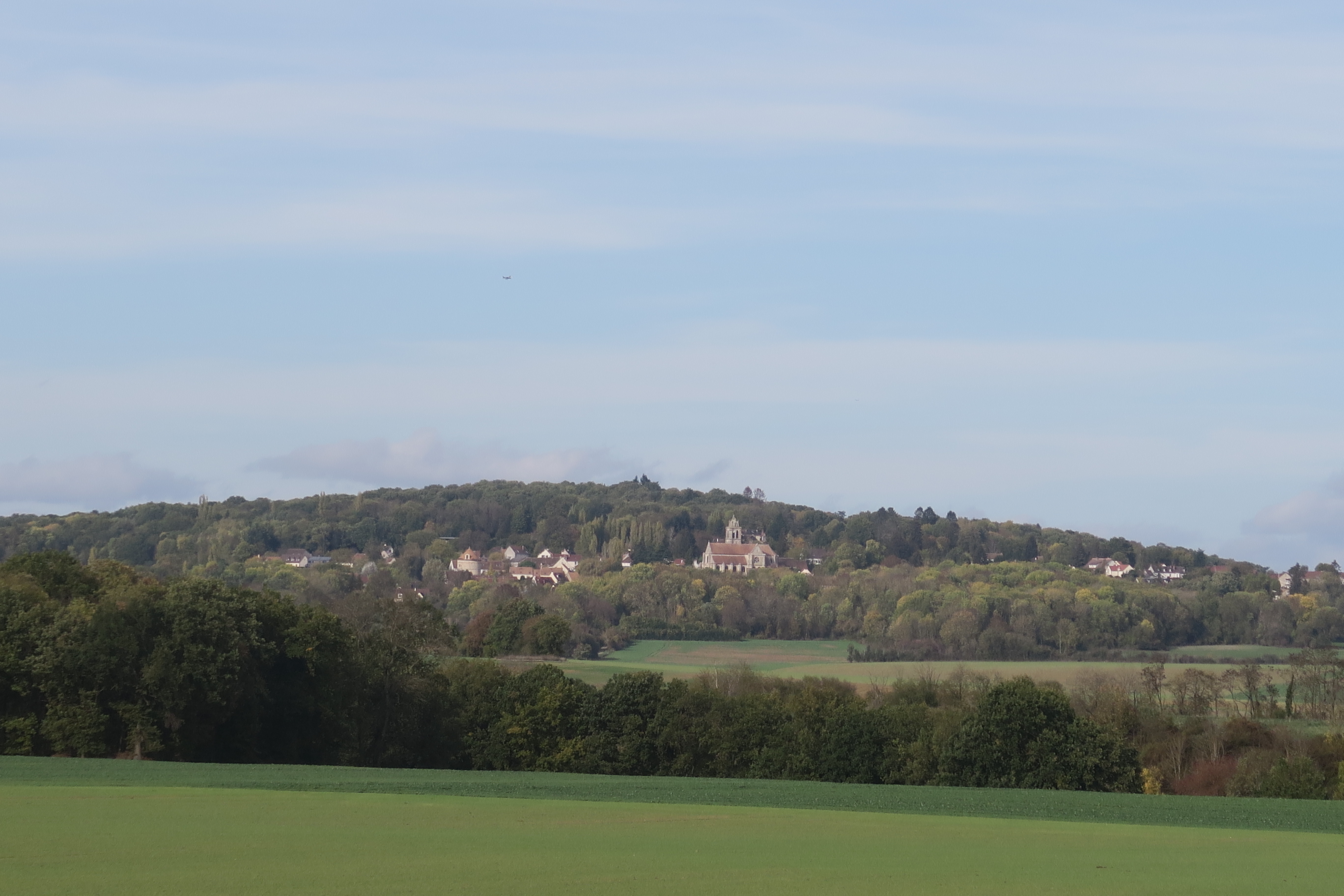
The Génicourt area spreads on some 645 hectares and stays not very urbanised asonly 9 % of the territory is built on. The village is on a slight hill, 105m above sea level. It thereforeslightlyoverlooks the agricultural plateau as well as the hamlet of Gérocourt, located at 80 m high. The village doesn’t have any stream going through it, but a few weak springs are present in the gullies of Gérocourt. The water needs of the inhabitants were supplied for by the deep wells.
The open view on the plateau brings us back to the farm economics which historically prevailed and still very active with 5 farms still in activity at the start of the 21st century in Génicourt. As often in the French Vexin, the fertile lands were used for cereal culture as well as for fodder plants or beetroot. Until the 19th century, there was also a vine culture, which disappeared after the phylloxera plague, an illness which decimated the vine stocks at the time. Livestock farming existed but was not at the heart of the activities. The schoolteacher of 1899 pointed out the tendency to group plots, which historically used to be divided, into bigger cultivation. It is still the present trend, with big cultivations but a reduced number of farmers living in the area.
Génicourt developed itself close to important transport routes. An ancient “voie droite” or route de Beauvais whose outline was partially reused by the present D22 came from the chaussée Jules-César, roman route from Paris to Rouen, and would pass between Génicourt and Gérocourt to meet Epiais-Rhus. Besides, the royal route from Pontoise to Gisors, rearranged in the 18th century,would run not far from Génicourt, more or less on the outline of the present D915. The presence of these ancient transport routes must have certainly favoured the development of the village, as well as the implementation of transport cafés such as the old Maison Blanche along the route de Pontoise, in Gisors, and which hosted a blacksmith up until the 1950s as well as a café.