Sentiers du Patrimoine ®
Ennery

Traverser la rue de Pontoise au passage piéton pour prendre la rue en face. Prendre le premier chemin à droite qui vous ramène sur la rue du Perreux et continuer jusqu'à la plaque d’un ancien corps de ferme. .
Prochain point : Lat. 49.07557, Long. 2.10186
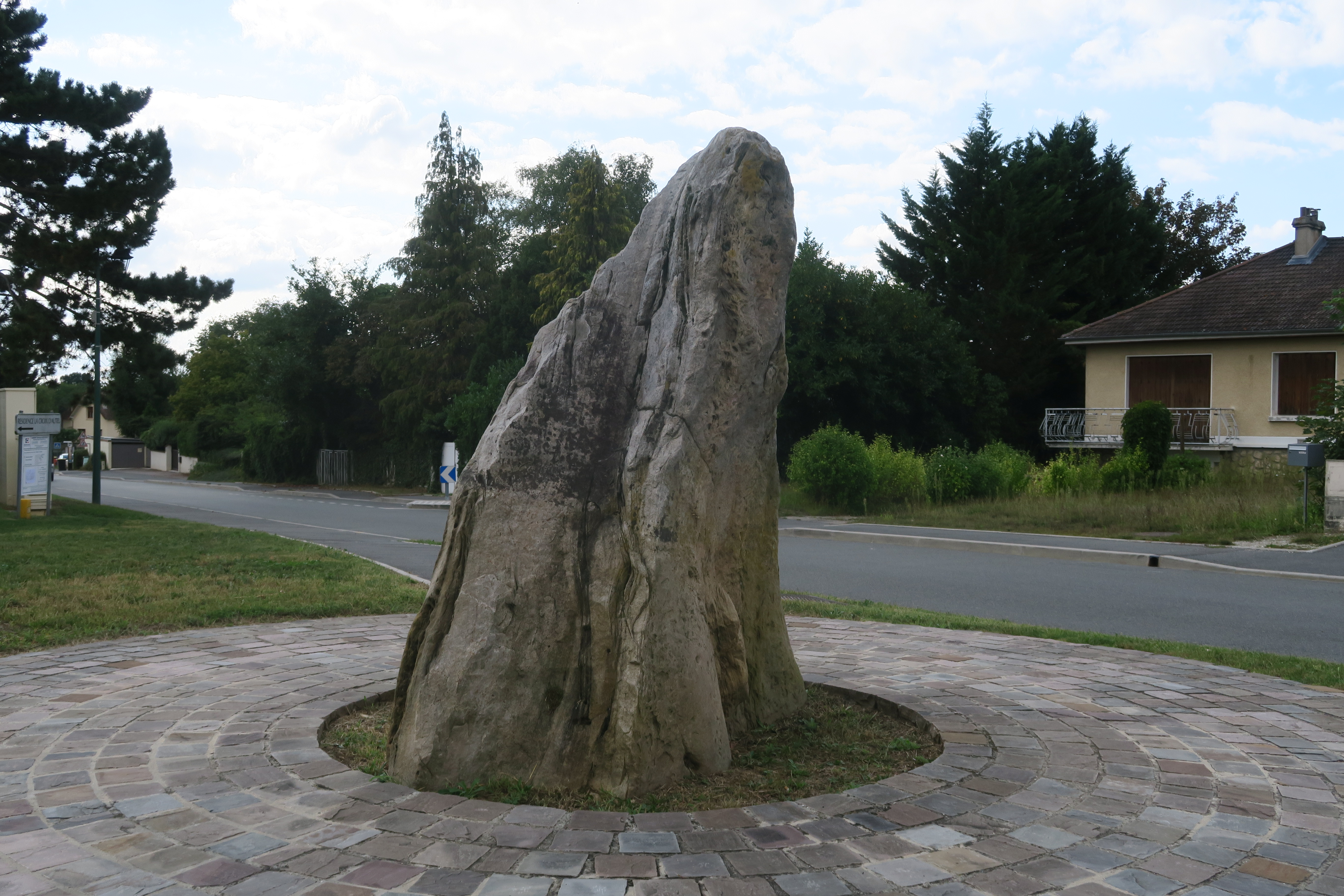
This block of sandstone of about a meter above the ground is one of the twelve menhirs reported in the département of the Val d’Oise. However, it does not stand where it originally did. In 1859, it was in the way of the outline for the new route going from Pontoise to Méru, crossing Ennery. It wasn’t destroyed as other megaliths were, their interest being quite obscure in the middle of the 19th century. On the contrary, the menhir was moved and installed on a median strip along the road south of the village which crosses an ancient roman road linking Orléans to Beauvais. The texts of that period do tell us that at the time it was 1.50 metres high. It is almost facing a cast iron crossroads cross erected in the 19th century.
If the noun “menhir” in the Breton language means “standing stone,” these great blocks of stone can be found in other places than Britany. They can be found all over France and the French Vexin is no exception. These monuments also called megaliths were erected by the first European farming men during the Neolithic area (5200 to 2100 B.C.). The dolmens or stone tables were tombstones, but the menhirs, these isolated standing stones gathered in line or circle, are more enigmatic. It was much likely some kind of symbolic construction: maybe they were used to mark a territory, to honour someone or a community, or might even have had spiritual functions … The precise function of the menhir of the Haute-Borne still partially escapes to archaeologists but its very ancient origin has however indeed been proved!


